
Search Prince William Streets by Address
A street search begins with geography, not a name list. County Mapper accepts an address, intersection, GPIN, coordinates, or a layer query. Its address search allows a street number, a partial street name, street type, and a multi-tenant checkbox. Save the returned official address and GPIN before opening other records. A tax owner, a mailing address, and the physical parcel address may each be different, so none should be relabeled as proof of who is present.
- Enter the number, street name, street type, and unit when known. Correct the spelling against the returned County Mapper result.
- Record the GPIN and use the mapper result to open the Prince William Real Estate Assessments property profile.
- Keep the situs address, owner display, owner mailing address, account number, assessment year, and transfer row in separate notes.
- Use the current owner or transfer date as a lead in the Prince William Circuit Court Clerk land-record index, then compare the legal description and plat reference.
- For a past household lead, inspect the appropriate RELIC crisscross or telephone directory edition and preserve its printed page and year.
The Prince William County street directory is strongest when each step agrees with the next. The map provides the location key, the assessment record supplies a current tax-role lead, and the Clerk’s instrument is the recorded conveyance. A street number can outlive a lot split, a changed unit, or a new GPIN.
Prince William Street Directory Record Sources
Address-keyed sources answer different questions along a Prince William County street. The assessment record is useful for property and transfer context. County Mapper supplies parcel geometry and location layers. The land-record index identifies parties to recorded instruments. Voter records and historical directories have separate access rules and should never be treated as a complete household roster.
| Address record | What it can establish | Prince William access route |
|---|---|---|
| Assessment profile | Owner display, mailing and situs fields, account, GPIN, values, and transfer history | Real Estate Assessments and County Mapper Tax Info |
| Parcel map | Geometry, address, GPIN, map layers, adjoiners, precinct, and service attributes | County Mapper and Parcel History Tree |
| Deed or plat | Grantor, grantee, instrument, legal description, and recorded transfer | PublicSearch, Clerk computers, or copy request |
| Voter record | Authorized public-list fields and district context | Virginia citizen voter portal, registrar, and statutory request routes |
| Dated directory | Printed householder or address lead for that edition | RELIC physical or microform collections |
For an address in Manassas or Manassas Park, verify the actual jurisdiction first. The Circuit Clerk land-record service covers Prince William County and both independent cities, while assessment, zoning, and municipal functions can be administered separately. A postal city label is not a substitute for the parcel jurisdiction.
Prince William Street Map Search Fields
The County Mapper controls are useful because they distinguish a street lookup from a guessed address range. Use an address or GPIN to identify one parcel. Use an intersection when the exact number is unknown. The viewer can also query layers and save a selected geography. It is an informational map, so a legal boundary or ownership conclusion still belongs with the recorded plat or Clerk record.
| County Mapper search | Fields or controls |
|---|---|
| GPIN | GPIN text box in xxxx-xx-xxxx format; partial GPIN accepted |
| Address | Street number, partial street name, street type, and multi-tenant search option |
| Unit address | Street number, street name, street type, and unit |
| Intersection | Combined intersection text or street-name and cross-street fields |
| Buffer and layer query | Buffer distance and unit, or selected layer with its query control |
The county GPIN guidance explains that this is a unique parcel identifier based on a parcel centroid. It does not encode a subdivision, parent parcel, or historical owner. A boundary adjustment can create a new GPIN, and map updates can lag after a recorded plat.
The county’s GPIN guidance is shown here because it separates the stable parcel key from an address label.
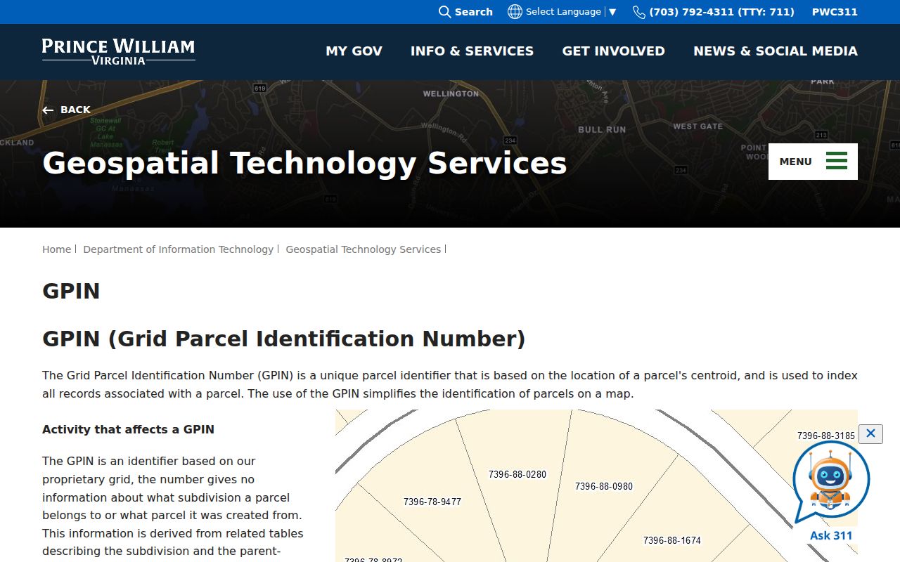
Use the GPIN to reconcile map, assessment, and parcel-history results, then confirm a deed or plat with its recorded identifiers.
Prince William Street Directory Assessment Trail
The assessment portal documents Quick Search, Address Search, GPIN or Account Search, and Sales Search. Its property information can include account and property details, assessment history, building sections, improvements, and transfer history. Preserve the portal’s own labels. A six-character account number can require leading zeroes, while the GPIN follows the county’s hyphenated format.
- Parcel
- A mapped unit of land used to organize county property records.
- Situs address
- The property location shown on the assessment record, which can differ from the owner mailing address.
- Plat
- A recorded map that controls a legal subdivision or boundary description.
- Crisscross directory
- A printed directory arranged from an address or telephone number to a listed householder.
Prince William Real Estate Assessments displays the search modes and history panels that make it a good first tax-role source.
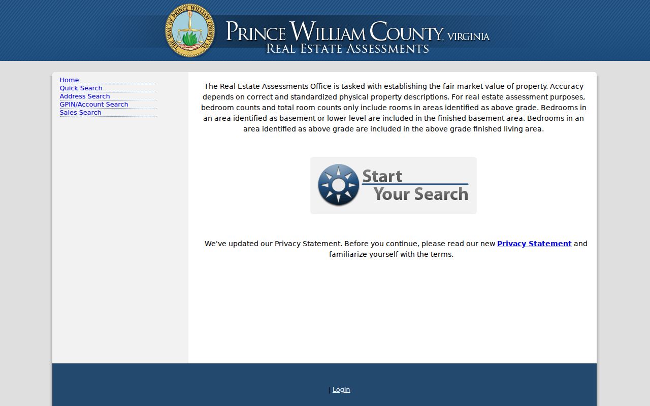
Assessment values and transfer rows can guide the next search, but the recorded instrument remains the source for a conveyance.
Note: A mailing address can belong to an agent, lender, entity, or tax representative, so it should stay labeled as an owner mailing address.
Prince William Street Deed Documents
The Clerk’s published online coverage includes land records, deeds, related indexes and images, and plats from 1918 forward. PublicSearch covers Prince William County, Manassas, and Manassas Park, requires registration, and provides free index-data and property-alert access. Its unauthenticated shell did not expose the live search-field inventory, image permissions, or export limits. Treat an online row as a lead, not a complete document repository.
When an image is missing, use the instrument number or deed book and page at the Judicial Center. The Clerk identifies public computer access for current scanned cases in rooms 310, 314, and 305. The copy request form can be emailed to circuitcourt@pwcgov.org and asks for party names, document type, page count, certification choice, instrument or book and page, comments, and requester contact details. The form lists copies at $0.50 per page and certified copies at $2 per document, while the current fee page controls if rates change.
The Clerk’s land-record fee page shows the current schedule and payment information.
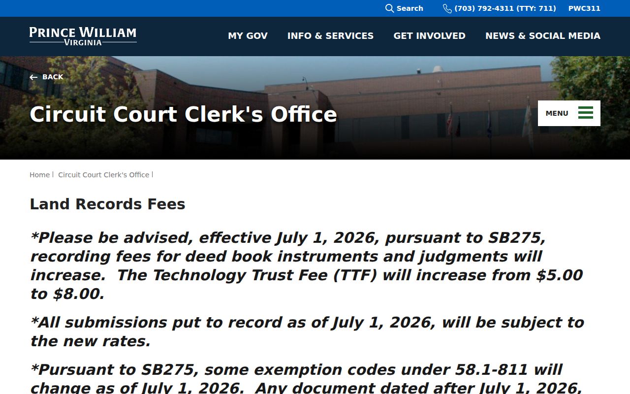
This route supplies a custodian-based fallback when a remote index entry lacks the image or the parcel details need confirmation.
Prince William Street Geography and Changes
County GIS assigns official street addresses, suites, apartments, and buildings, except for Manassas Park and Manassas. Information for Dumfries, Haymarket, Occoquan, and Quantico can be limited. The county began using its Survey123 Address Validation app on September 2, 2025 for new structures and exterior changes, with plan and geometry uploads. That record trail can explain a new number or unit label, but it does not identify who is at the address.
The seven magisterial districts, Brentsville, Coles, Potomac, Gainesville, Neabsco, Occoquan, and Woodbridge, are useful filters for mapping and civic work. They are not neighborhood names. Likewise, a ZIP code, post-office label, city label, and parcel jurisdiction can point to overlapping geography. Keep each as its own field when comparing a Prince William County street directory result.
The Address Validation information records the current application route and its plan requirements.
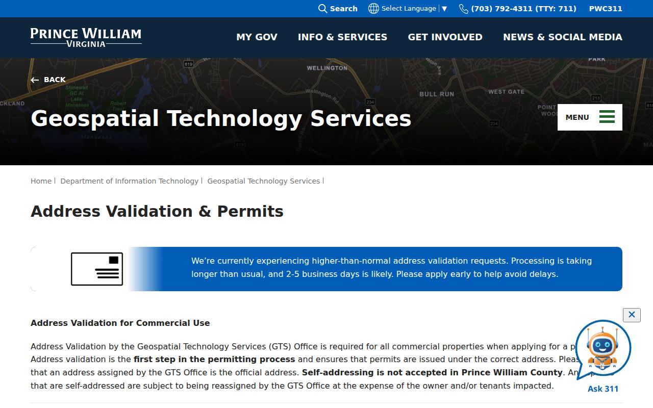
When a current address and an older record disagree, compare the recorded plat, the address history, and the date of each source before joining them.
Prince William Street Directory Map Layers
County Mapper has Land Records, Land Development, Public Services, Service Areas, Environment, Public Utilities, and aerial-imagery controls, plus results, measurement, drawing, printing, and highlighting tools. More Info can return schools, a voting precinct, a polling place, and other location attributes. Those fields describe the parcel’s setting, not the people associated with it.
Historical aerials are available for 1937 and for selected years from 2004 through 2023. They can help compare structures and land use across time, but cannot establish title, permit issuance, or a precise construction date. The county warns that older boundaries can be misaligned, which is another reason to verify legal questions against a plat or recorded instrument.
The GIS FAQ addresses ownership routing, imagery years, and the difference between map information and custodian records.
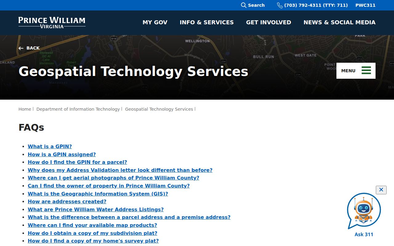
Use a mapped result to locate the right record system, then retain the map date and layer with any research notes.
Prince William Street Directory Past Leads
For an older address, RELIC’s physical and microform directories are a dated household clue rather than a present-day roll. The collection includes telephone books from 1903, 1931, 1941, 1951, and 1958 through 2009 with gaps. Its targeted city-directory runs include Manassas from 1960 to 1983 and the Quantico, Triangle, Dumfries, Woodbridge, and Occoquan corridor from 1963 to 1980. Check the edition and page, then pair the entry with a deed, tax, census, or newspaper date.
A crisscross entry works in reverse: address or telephone number first, then householder. Older road labels can also change. No verified countywide street-renumbering year was located, so use plats, Sanborn maps, aerials, and county addressing staff to bridge an old label rather than assuming an exact match. Historical collections are described in the Prince William County directory book.
Prince William Street Records Beyond Portals
An online result is only one Prince William County access channel. Real Estate Assessments and County Mapper provide the current parcel route, and the GIS owner-search contact is 703-792-6780. The Clerk route starts with PublicSearch but extends to the Judicial Center’s public computers, a telephone call to 703-792-6015, and the copy-request email. If an older deed, plat, or Chancery source is outside the online range, RELIC and the Library of Virginia microfilm catalog are the documented library and archive alternatives.
The Clerk’s online-records page identifies the local availability limits and public-computer route. For existing county material held outside a specialized index, a reasonably specific request can also go to the county FOIA officer by email, phone, mail, fax, or in person. The Virginia Freedom of Information Act has a five-working-day response framework, permits actual costs or a deposit in some cases, and does not override an exemption or a special record-access law.
Prince William Street Directory Limits
No countywide official who-lives-here registry was located. Property records generally identify a tax owner or mailing recipient, not every household member. Utility and delivery customer records are not ordinary public directories, and driver-address records are restricted. Virginia voter records have their own statutory inspection and authorized-request rules, while individual voting history is not an ordinary public name search.
The Virginia Address Confidentiality Program protects eligible participants with substitute addresses. The Virginia citizen voter portal is the individual self-service route, and the Office of Elections can address local election questions. A request under the Virginia Freedom of Information Act, Va. Code § 2.2-3704, reaches existing county records subject to exemptions and does not override specialized access laws.
Lawful use. Prince William County address records can support personal, historical, and civic research. Do not use them to stalk, harass, intimidate, or harm any person.
Note: Save the source URL, retrieval date, address form, GPIN, and document identifier so another reader can test the same record trail.