
Prince William Neighbors by Parcel
Start a block question with a single subject parcel. County Mapper can identify the address, GPIN, and adjacent map context. The assessment system then separates owner display, mailing address, situs address, values, and transfer history. A result from either source is a property-record role, not proof of everyone who is physically present. For current civic geography, add the association layer; for a dated address lead, use an appropriate local directory edition.
| Block source | What it shows about the block | Access route |
|---|---|---|
| County Mapper and List Adjoiners | Touching parcels, GPINs, map layers, and parcel location | Query a subject parcel and retain the date and result |
| Adjacent Property Owner Notification tool | Parcels within 500 feet and special notification areas | GPIN or coordinate search with print and export controls |
| Real Estate Assessments | Owner display, mailing and situs fields, values, and transfer history | County property portal and County Mapper Tax Info |
| Association GIS layer | Association name, type, district, ZIP, management, and zoning fields | County-maintained ArcGIS layer query |
| RELIC directories | Dated household and address clues in a printed edition | Physical or microform collection access |
Prince William County neighbors may occupy different record roles in each source. A parcel can have an entity owner or an outside mailing contact. An association polygon describes shared community geography. A historic directory can show a listed householder for one edition. Those records should be read alongside their date and access limits.
Prince William Neighbor Geometry
List Adjoiners and the county’s Adjacent Property Owner Notification, or APN, tool answer related but different questions. List Adjoiners is for parcels that touch the subject parcel. APN identifies properties within 500 feet of all portions of the subject property and also considers Planned Development and Special Notification Areas. It accepts subject-property GPINs and offers a coordinate route, then provides search, selection changes, saving, printing, and export functions.
Record whether the question is immediate adjacency or the larger notification envelope. Keep the GPIN, map date, selected layer, distance, and result count. The APN tool says its purpose is required notifications and not commercial use. For a block question, it is a transparent geographic method, not a list to publish or a way to infer a complete group of people.
The county APN application shows the GPIN and coordinate workflow for the 500-foot notification method.
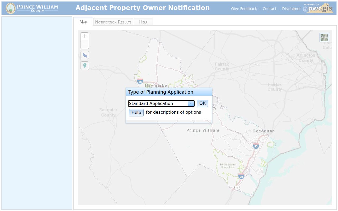
The captured controls illustrate why an APN result should be labeled as notification geography rather than direct parcel adjacency.
Map a Prince William Neighbor Block
Use the parcel sequence below to keep a Prince William County neighbors search focused on the immediate block. It preserves the official location key before moving to names or associations. More Info can add schools, voting precinct, polling place, and service attributes, but those are features of the location, not a list of people.
- Search the subject address in County Mapper and record the returned official address, GPIN, map date, layer, and result.
- Select List Adjoiners for touching parcels. Use APN instead only when the question is the 500-foot notification envelope.
- Open the assessment profile for a parcel-level owner or transfer lead, keeping situs and owner mailing fields separate.
- Query the association layer by parcel or association name, then check its listed type, district, ZIP, and management fields.
- For the entire named street and its deed chain, use the Prince William County street directory workflow rather than extending a block search beyond its purpose.
The sequence is address to GPIN, adjacent parcel, assessment role, then community geography. It avoids treating a nearby property owner, a mailing contact, or a civic organization as a complete answer to who the neighbors are.
Note: Parcel boundaries and association updates can change, so retain a map capture date whenever the block pattern matters.
Prince William Neighbor Association Layer
Prince William Neighborhood Services maintains a voluntary verified listing of condominium and homeowner associations. The county explains that an HOA is mandatory after purchase within that association, while a voluntary neighborhood association is different. The county does not have general authority over every association operation. Its public database is available under FOIA to Virginia residents, but dynamic search labels and export behavior were not exposed during the research inspection.
County HOA and COA listing
Voluntary county listing and contact pathway. It does not certify current membership, management, or legal standing.
Association GIS layer
Maps name, type, GPIN street, ZIP, district, zoning case, and management-contact fields.
Neighborhood Services
County guidance and the local association contact route at 703-792-7018.
Virginia CIC ombudsman
State route for condominium and HOA ombudsman matters, separate from a county block map.
The county HOA and condominium association information explains the voluntary-listing boundary and the county’s role.
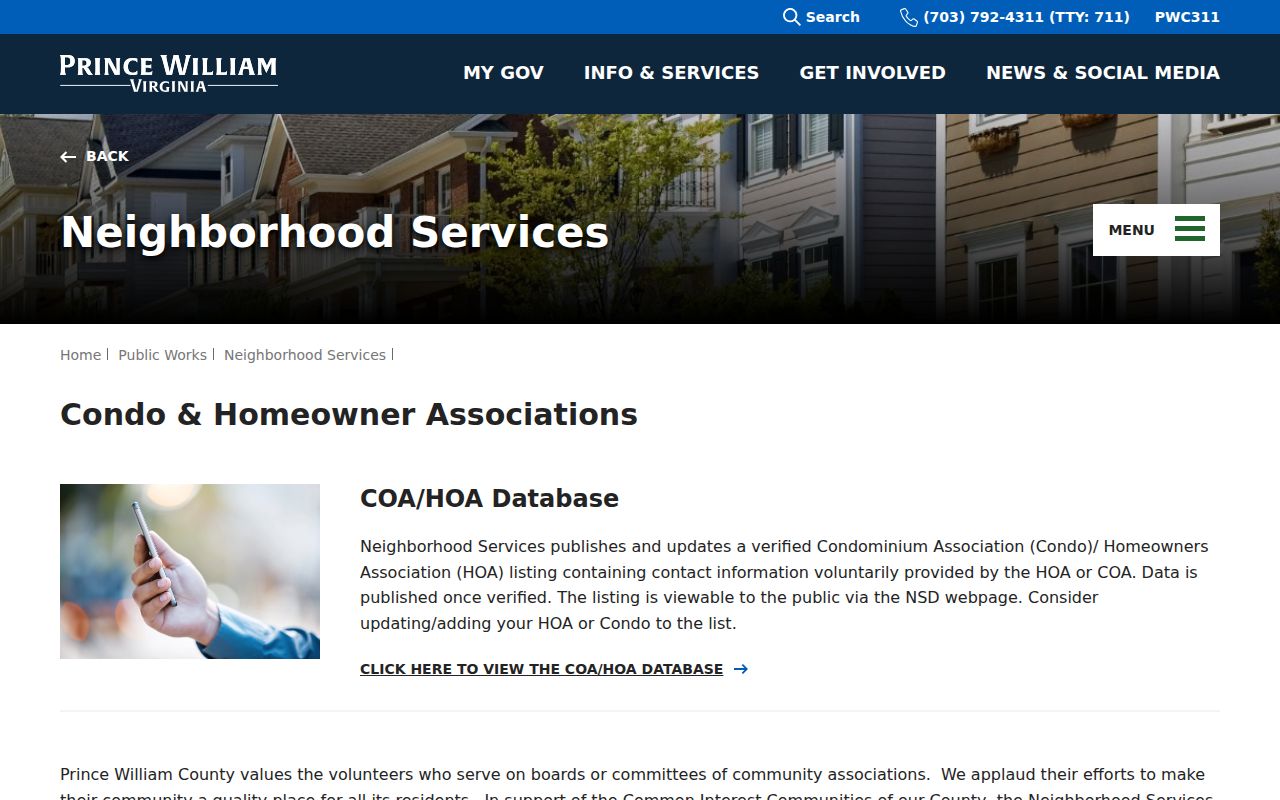
Verify a contact against a current county listing and any association notice supplied through that official route before relying on it.
The county association GIS layer supplies the geographic and contact-field inventory used to cross-check the listing.
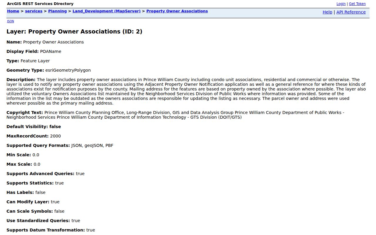
The layer is useful for locating an association’s mapped context, while its changing fields still need a current-source check.
Prince William Neighbors and Civic Boundaries
Block geography has several overlapping boundaries. Prince William County has seven magisterial districts: Brentsville, Coles, Potomac, Gainesville, Neabsco, Occoquan, and Woodbridge. County Mapper’s More Info may show a voting precinct, polling place, schools, and other service attributes. ZIP labels and civic communities use different lines. None of those labels should replace a street address or GPIN in a record comparison.
The county’s 2024 community-workgroup agenda names Lake Ridge Occoquan Coles Civic Association, Woodbridge Potomac Communities Civic Association, Mid County Civic Association, and an HOA Roundtable as community examples. They are not a countywide census of associations. Adjacent parcels, civic associations, schools, voting precincts, and fire-service areas overlap but are not interchangeable.
This geographic difference is especially useful when a Manassas, Woodbridge, Quantico, or Lake Ridge mailing label appears in a record. Compare the legal locality, post-office label, ZIP, district, and GPIN separately before deciding which Prince William County custodian has the relevant record.
The county’s ZIP materials make the same point from a postal angle. The official table distinguishes ZIP areas entirely within Prince William County from 20110 and 20111, which are only partly within it. A ZIP lookup is useful after a complete address is known, but it cannot establish the jurisdiction, parcel line, or the identity of Prince William County neighbors.
Prince William Neighbor Voter Records
Virginia’s registered-voter statute allows public inspection of registered-voter lists at the general registrar and identifies fields such as name, address, year of birth, gender, and applicable election districts. It omits Social Security information, registration-agency identity, day and month of birth, and certain protected addresses. The reliable individual route is the Virginia citizen voter portal or the local registrar, not an attempted block-by-block collection.
Virginia’s May 1, 2025 voter-list form includes locality, district, election, date, and product choices, but it must be paired with the Statement of Responsibility and current eligibility rules. Individual voting history is restricted, and protected participants use a substitute address through the Address Confidentiality Program. The Prince William Office of Elections contact page provides the local office route; published hours differ between county pages, so check before an in-person visit.
Prince William Neighbors Across Time
A block can change long before a current parcel map is updated or a new address is familiar. County GIS identifies aerial imagery for 1937 and selected years from 2004 through 2023. The historic images can show change in structures, roads, or land use. They cannot prove a legal boundary, a building date, ownership, or who was at an address. Pair an image comparison with a dated plat, deed, tax entry, or directory instead.
County cemetery preservation records offer another carefully bounded neighborhood-history source. The database reflects a 2001 Historical Commission inventory, citizen reports, and archaeological surveys. It can guide research to a cemetery name, number, address, or inventory lead. Private cemetery access still requires an arrangement with the landowner, and a cemetery point is not a parcel-ownership record.
The county cemetery preservation page explains the inventory provenance and access caveat.
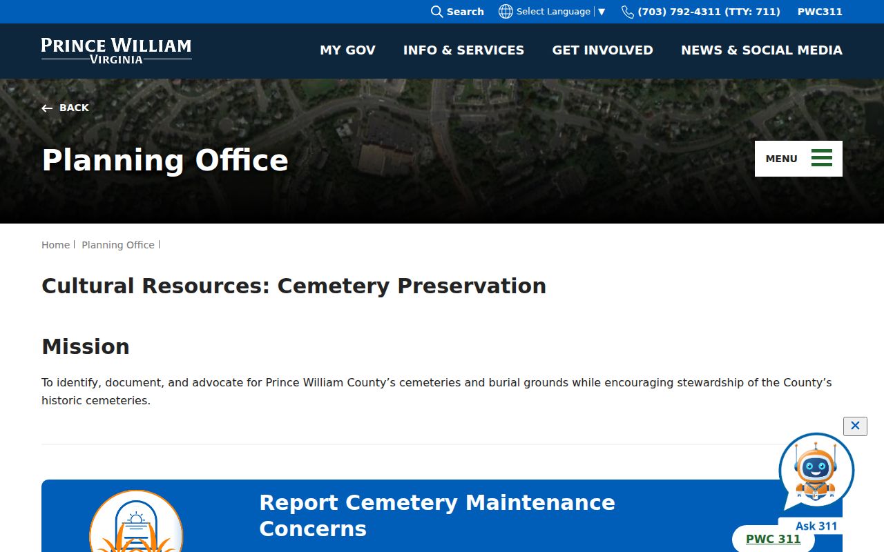
Historic features can add context to a block, but the parcel record and custodian document remain the sources for current property questions.
Prince William Neighbor Privacy Limits
Public sources provide fragments, not a definitive roster of neighbors. The property roll shows a tax-role record and can separate the situs from an owner mailing address. The map shows geography. Association materials describe an organization and its listed contact path. Voter data has specific statutory limits. Utility, delivery, driver, and protected-address information are not ordinary public block records.
| Official record route | Commercial compilation category | Safe reading of the result |
|---|---|---|
| Parcel, assessment, or Clerk record with a custodian and retrieval date | Mixed public and purchased-data compilation | Prefer the official source and label the role it actually reports. |
| County association listing or GIS layer | Unverified neighborhood contact compilation | Check the current county listing and do not assume membership or completeness. |
| Virginia voter portal or authorized statutory route | Claimed address or history match | Respect protected-address and individual-history limits. |
The Virginia Address Confidentiality Program supplies substitute addresses for eligible participants. A broad privacy request under the Virginia Consumer Data Protection Act does not replace the disclosure rules for a county record, voter file, vital record, court file, or driver information. For existing county records, the Virginia Freedom of Information Act, Va. Code § 2.2-3704, is subject to its exemptions and specialized record laws.
Lawful use. Prince William County neighbor research can support personal connection, family history, and civic awareness. Do not use it to watch, stalk, harass, intimidate, or harm anyone.
Note: Record the source type and date beside each result, especially when one address appears in a different parcel, postal, or association boundary.