
Sources for Prince William County Previous Residents
The best route to a past household starts with the era, not a guess about who occupied a property. Prince William Real Estate Assessments and County Mapper are current parcel leads. The Prince William Circuit Court Clerk, Land Records Division, holds the recorded deed trail. RELIC, the Library of Virginia, historical directories, tax lists, newspapers, and census compilations fill older layers. None of these sources is a complete occupant list. An assessment record can identify an owner display or mailing address, while a directory can offer a dated householder clue and a deed confirms a transfer.
| Source | Years It Covers | Where Held | What It Shows |
|---|---|---|---|
| Clerk land records and related images | 1918 to present | Circuit Court Clerk and PublicSearch | Recorded deed and related instrument trail |
| Directories and telephone books | 1903 to 2009, with listed gaps | RELIC | Dated address-to-householder leads by edition |
| Federal census and local compilations | 1810 to 1930 local compilations; 1890 substitute | RELIC and Library of Virginia | Historical household and tax, court, or vital context |
| Earlier deeds, tax, court, and town-lot records | 1731 to 1917 | Clerk, RELIC, and Library of Virginia | Older parcel and family-history substitutes |
| Historic aerial imagery | 1937; selected years from 2004 to 2023 | County GIS and Clerk viewer | Structure and land-use context |
Use the current parcel profile for an address, GPIN, legal description, and transfer-history lead. Move next to the recorded instrument rather than treating an assessment row as proof of title or occupancy. For a past household, choose a directory edition that actually covers the community and year. Then pair the entry with tax, census, newspaper, or probate material. This order keeps owner, mailing recipient, householder, and record custodian from being merged into one unsupported claim.
Prince William County GPIN Changes
A GPIN is the county’s unique parcel identifier, based on a parcel centroid. It ties together records associated with a parcel, but it does not encode a subdivision, parent parcel, or historical owner. Boundary adjustments can create a new GPIN, disjoined polygons can share one GPIN, and GIS assignment after a recorded plat can take weeks. That means a recent recorded document may appear before all map layers agree. For earlier household research, this is the common reason an old address seems to vanish from a current parcel search.
The official Parcel History Tree identifies parent-to-child and child-to-parent GPIN relationships. Use it to identify candidate earlier parcels after a split, combination, or renumbering. It is a bridge, not a deed chain. Confirm parties, dates, and the legal description with the recorded plat or deed at the Clerk.
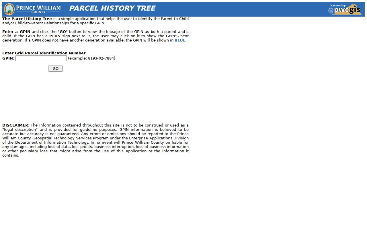
The Parcel History Tree provides the predecessor and successor leads that make a changed address researchable.
Real Estate Assessments offers Quick Search, Address Search, GPIN or Account Search, and Sales Search. Preserve the full situs address, unit or building label, GPIN, account number, owner display, assessment year, transfer date, legal description, and the source date. The county says its assessment information is useful for parcel continuity and historical sales, not proof that a named person lived there.
Note: A parcel’s owner mailing address and its situs address can differ, so label each field exactly as the record does.
Prince William County Deed Trail
For an ownership trail, the recorded conveyance is the central check. The Clerk’s online-records page reports land records, deeds, related indexes and images, and plats from 1918 to the present. Its remote PublicSearch portal covers Prince William County, Manassas, and Manassas Park and requires registration. The inspected public shell shows registration, sign-in, help, chat, and free index-data or property-alert access, but it did not expose the exact live search fields, result limits, export controls, or image permissions. Treat the online index as a route to an instrument, not a complete document repository.
The Circuit Court online-records page describes the current coverage and the alternatives for material not found remotely.
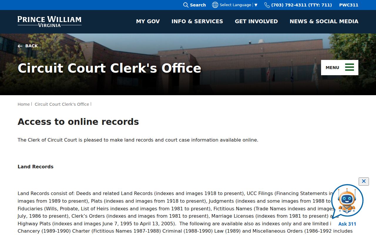
When an online image or result is unavailable, the Clerk provides public-computer access for most current scanned cases and a copy-request path.
- Open the current assessment profile and save the GPIN, legal description, current owner display, and transfer-history lead.
- Find the current owner’s acquisition in the Clerk index using the name and approximate transfer date, then capture the instrument number or deed book and page.
- Read the recorded deed for the grantor, grantee, document type, date, legal description, plat reference, pages, and any displayed consideration or tax data.
- Search the seller from that deed as a grantee in an earlier period, then compare the legal description and plat instead of relying on the street number alone.
- Repeat backward until the online date boundary, a split parcel, or a record gap requires RELIC, Library of Virginia microfilm, or a Clerk request.
- Grantor and grantee
- The grantor transfers an interest; the grantee receives it. A person can appear in both roles at different points in a trail.
- Chain of title
- The documented sequence of recorded conveyances for a parcel or legal description.
- Legal description
- The recorded land description or plat reference. It is more stable than a street address when roads, units, or parcels change.
For a document that is not available online, the Clerk lists Judicial Center public-computer rooms and accepts the land-records copy request form by email at circuitcourt@pwcgov.org or by mail. The form requests party names, document type, page count, certification choice, instrument number or book and page, and requester contact information. The Clerk’s current fee page controls if a cost is needed.
Why Prince William County Records Break
Some breaks are part of the local record history. Prince William County’s Brentsville tour explains that Civil War losses included 16 deed books and five will books. The clerk’s office was demolished by 1863, and temporary offices followed after the war. A missing early deed, will, or predecessor name is not automatically a poor search or evidence that no transaction occurred. County and town boundary changes, renamed or renumbered streets, parcel splits, new units, corporate ownership, and mailing-address changes can also interrupt an otherwise plausible line.
The Brentsville self-guided tour documents the Civil War record-loss context behind some early gaps.
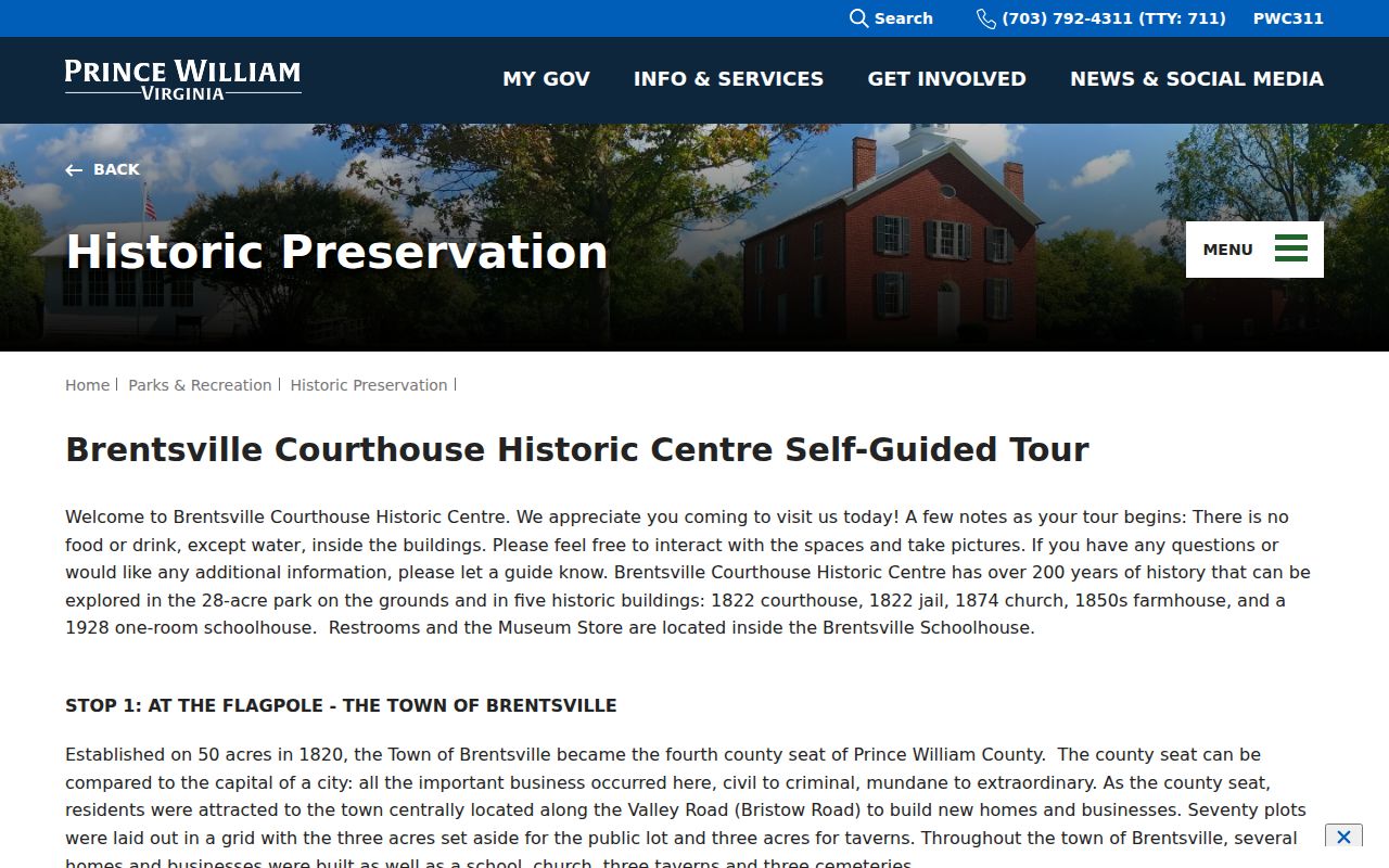
Knowing that history prevents a missing book from being mistaken for proof that an earlier household or transfer never existed.
Mark the exact break and try the next custodian: the Clerk index, an adjacent instrument or plat, RELIC digital indexes and microfilm, Library of Virginia county-court microfilm or Chancery records, census abstracts, tax lists, church or cemetery collections, newspapers, town lots, and historic maps. The Roots in Prince William guide identifies Brentsville, Buckland, Haymarket, and Manassas town-lot routes. Its 1890 county substitute indexes vital, court, and tax material after the federal census loss.
Prince William County Aerial Timeline
Historic aerials answer a different address-history question: what changed on the land. The county GIS FAQ lists imagery for 1937 and selected years in 2004, 2006, 2008, 2009, 2011, 2013, 2015, 2017, 2019, 2021, and 2023. The Clerk’s online-records information directs researchers to locate or zoom an intersection, parcel, or address in the Aerial Image Viewer, then select Map Layers and the 1937 aerial layer. Compare the same identifiable parcel or intersection across dates and record what is visible.
Aerial imagery can suggest structure or land-use change, but it cannot establish legal ownership, a permit, a precise building date, or who lived at the address. Pair an aerial observation with a dated deed, plat, directory, tax record, or newspaper. When County Mapper and assessment details change at different times after a plat, give the recorded instrument priority for the conveyance question.
Prince William County Households Across Time
Owners are only one layer of a house history. For the people who may have lived there, use RELIC’s dated directory and telephone-book runs, then pair them with census, tax, deed, newspaper, obituary, cemetery, and probate leads. RELIC has Manassas-area directories from 1960 to 1983, a Quantico, Triangle, Dumfries, Woodbridge, and Occoquan run from 1963 to 1980, county editions for 2001 and 2007 to 2020, and telephone books from 1958 to 2009 with some gaps. Manassas telephone books survive for 1903, 1931, 1941, and 1951.
Start with the street and a narrow date range. Check whether the book covers Manassas, the Quantico to Woodbridge corridor, or the county. Read the alphabetical entry, then the street or criss-cross section if the volume has one. Match each address with the federal census or local compilation closest in time. A directory can show a householder between census dates; a tax record can identify an owner; and a deed can record a conveyance without naming every occupant. The historical collections themselves are detailed on the Prince William County directory book page.
When a name disappears, test several explanations before ending the trail: a move, death, altered name form, a changed street suffix, a listing gap, or an incomplete edition. Newspapers and obituaries can anchor a departure, marriage, business change, or death, but use them as leads to vital or probate records rather than a complete address history.
RELIC Help for House History
House history can also be a family project. RELIC offers local-history research material about Prince William people, places, and events, along with staff research assistance and a free digital-preservation lab for family memories. Its Tree Doctor service offers virtual appointments with Don Wilson through 703-792-8380 or LibRELIC@pwcgov.org. Bring a focused question: a street, approximate date, edition, GPIN, deed book and page, or named collection. That gives staff a starting point without asking them to turn a partial clue into an unsupported identification.
For historical research access, RELIC and the Library of Virginia are the documented alternatives to a remote index. For an existing county administrative record that is not held by the Clerk, a specific request under the Virginia Freedom of Information Act, Va. Code § 2.2-3704 can be directed to Prince William County’s FOIA officer. FOIA does not override vital-record access limits, and Clerk document copies use the Clerk’s own process.
Lawful use. Previous-resident research is appropriate for house history, family history, estate questions, and personal curiosity. Do not use a past address trail to stalk, harass, or harm anyone.
Prince William County Earlier Sources
Before the 1918 land-record online coverage, expand the trail instead of forcing a modern database to answer an early question. RELIC’s digital archives include the Prince William Deeds Index for 1731 to 1827, a 1777 rent roll, 1782 land tax, 1783 and 1784 personal-property tax, Prince William People for 1701 to 1865, court orders, cemetery and church records, school materials, and other indexes. The Library of Virginia catalog and county-court microfilm are further routes for older material, including the Chancery Records Index.
Property Alert is useful for watching a current name or GPIN, not for reconstructing an old household. The county’s Property Alerts page says the free service launched April 23, 2025 and supports name or GPIN criteria. Its initial document search has a three-month limitation for older documents, so a custom alert is the more suitable monitoring tool. Keep the historical trail in the dated records and use the alert only for later recorded activity.
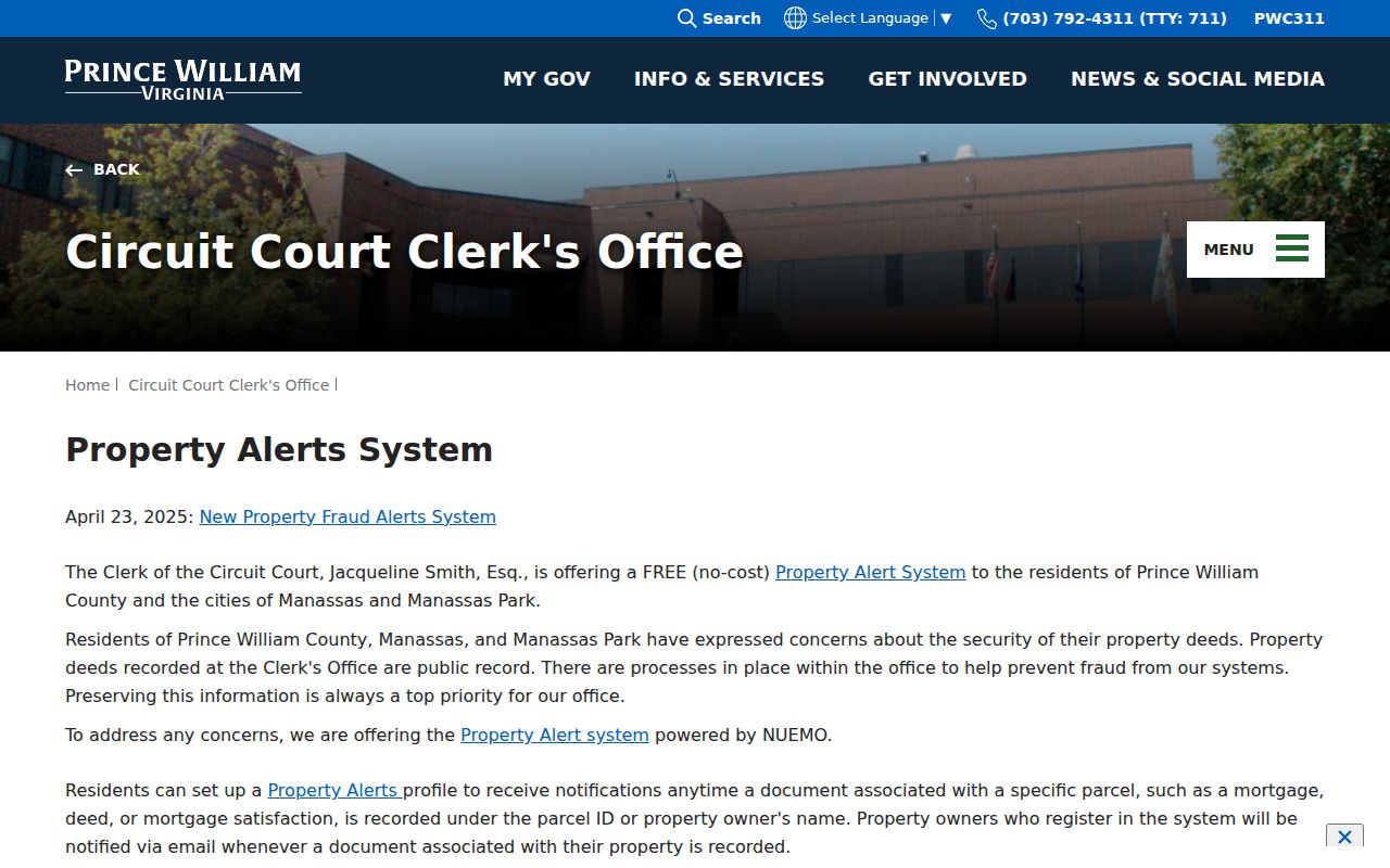
The alert workflow is useful for future recordings tied to a saved name or GPIN, while dated records remain the source for past households.
Note: A documented break, with the next source named, is more useful than an unverified link between two addresses.